Waymarked hiking and cycling routes, anywhere in the world. Preview the climb in 3D, save it offline, and follow it with voice directions — free.

 Very hard
3D
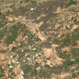
Copernicus Sentinel-2 · WaiMAP
Very hard
3D
Copernicus Sentinel-2 · WaiMAP
Trail data © OpenStreetMap contributors (ODbL). Climb is measured from terrain data, not guessed. Satellite imagery: Powered by Esri · Imagery © Esri, Maxar, Earthstar Geographics, and the GIS User Community · Contains modified Copernicus Sentinel data 2025, processed by WaiMAP · Sentinel-2 cloudless 2016 © EOX (CC BY 4.0)
Fly the whole trail in 3D. See the climb, the steep parts, where the water is and when to start to be back before sunset.
Save a trail with one tap: map, elevation, places on the way and the trail page itself keep working in airplane mode.
Voice directions at every turn, a warning when you leave the trail and an arrow back to it, and your arrival time.
Share your live position, set a check-in time, and send SOS with your location to your contacts in one press.
Search a region or open the map near you. Filter by length, climb, loop or difficulty, and save the ones you like to a list.
Tap Start. Wai Sense records your track, follows the trail and keeps your contacts informed if you want.
An honest report of what you did — distance, time, climb and pace on a map — and your completed trails on your profile.
Install it on your phone or computer from the browser. No store, no card, free to start.